N200 GNSS Land Leveling System
NST®N200™ GNSS Land Leveling System continues the strong performance of NST precision Agriculture products. Powered by advanced RTK satellite technology, it ensures efficient water use, reduces fuel costs, and boosts crop yields. Easy to operate and compatible with modern machinery, it’s the ultimate solution for precision agriculture. Elevate your farming game with reliability, sustainability, and unmatched performance!

One-key Set Benchmark
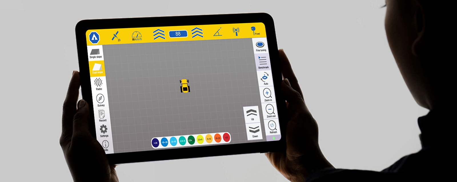
Visual Terrain Dispaly
Land Survey
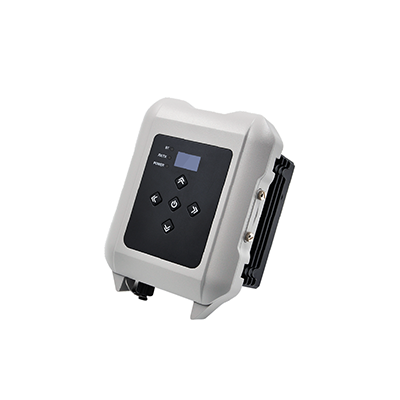
Water Proof with IP65
Real Time Hight Difference
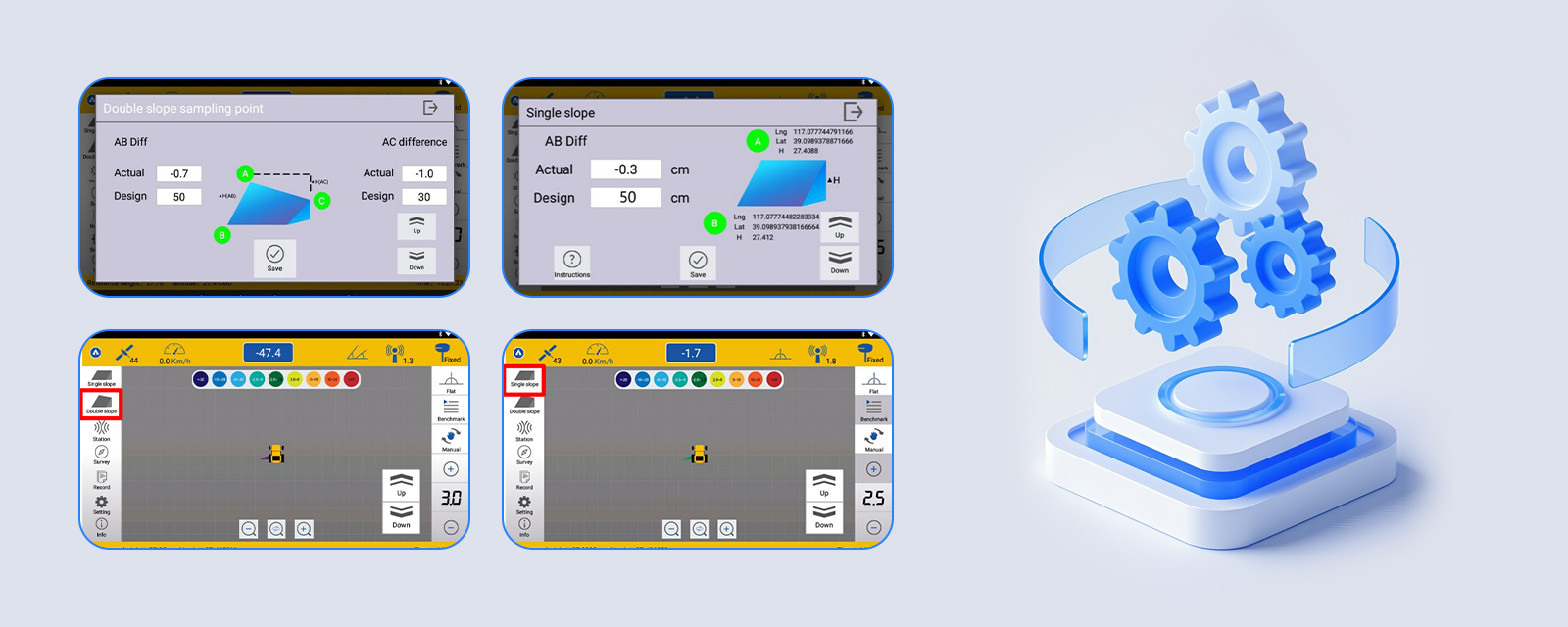
Two-point Slope
10.1 Inch Touch Screen
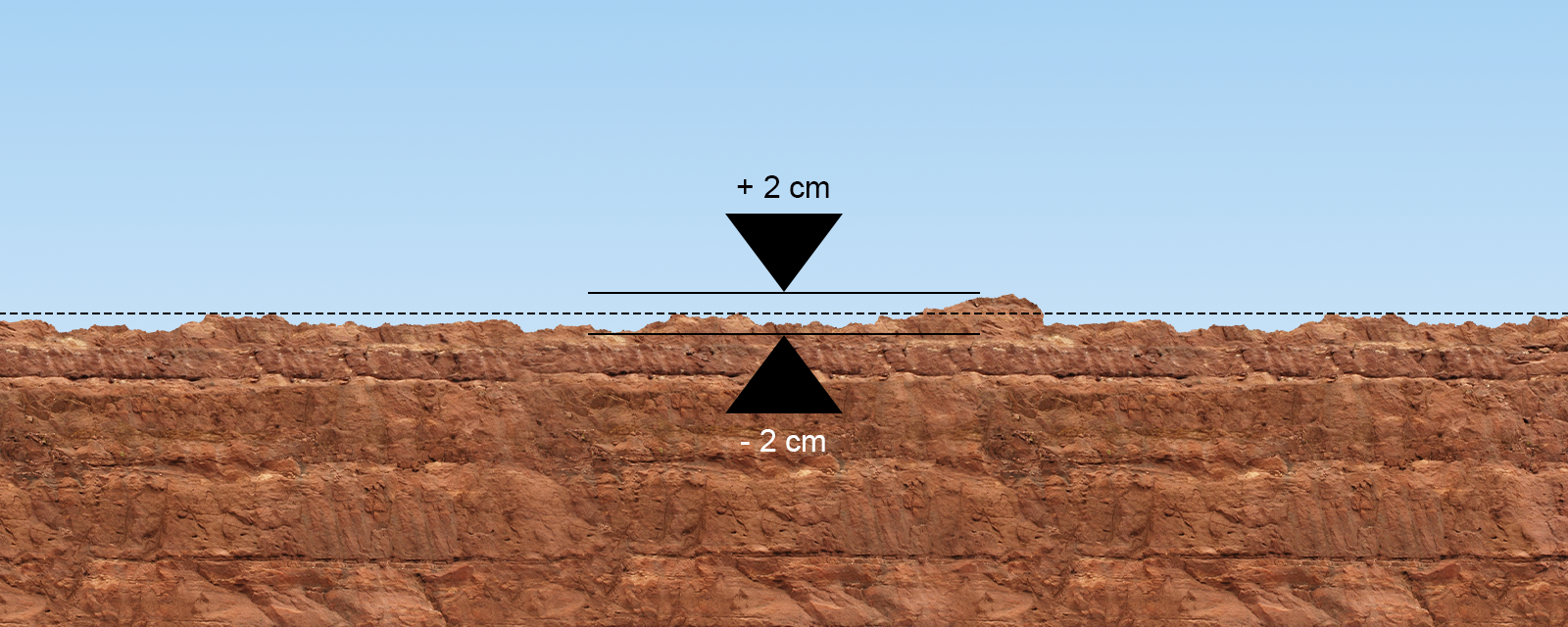
± 2 cm Accuracy
10.1" Tablet
The tablet features a high-definition 10.1-inch screen, enabling operators to quickly and easily identify elevation variations.Designed to work under tough conditions, the durable screen offers both reliability and sustainability.
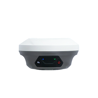
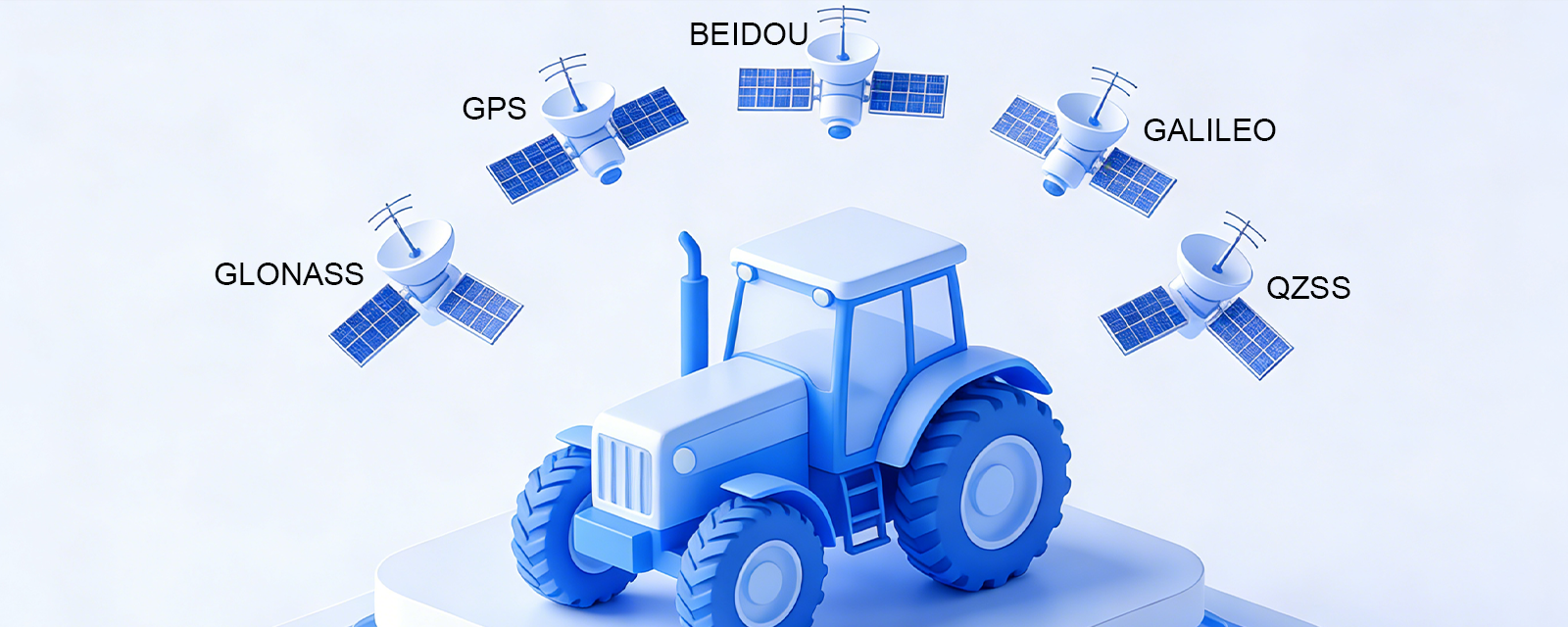
Built-In GNSS RTK
The system supports multi-constellation positioning technology, including GPS, GLONASS, BEIDOU, GALILEO, and QZSS, ensuring comprehensive coverage and precise positioning across diverse regions and challenging environments.
Land Survey
Through continuous point collection, the system can accurately generate a complete digital terrain model containing information such as plot elevation, coordinate position, area, and fill and cut volume.

High Precision
The leveling accuracy can reach ±2 cm, far exceeding the rough leveling effect of traditional machinery.
Irrigation Efficiency
The irrigation efficiency is increased from 40%~50% to 70%~80%.
30%
Land Utilization Rate
Land utilization rate increased by 9%.
9%
Crop Yield
Crop yield increased by 20%~30%
20% ~ 30%
Fertilizer Utilization Rate
Fertilizer utilization rate increased by more than 20%
20%
Multiple Designing Options
Provide sophisticated design configurations, such as flat mode, single-slope mode, and double-slope mode, enabling you to select the optimal land leveling strategy tailored to the specific topography.
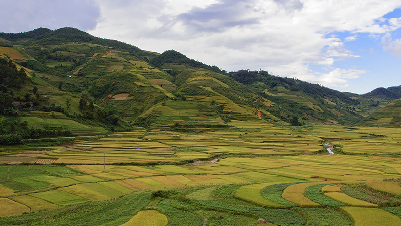
Application
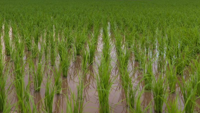
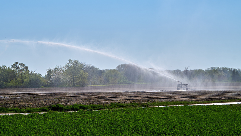
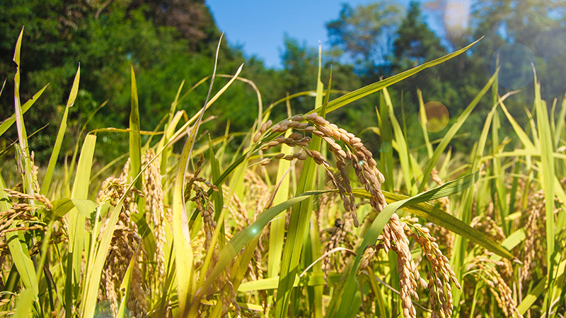
Paddy Field Leveling
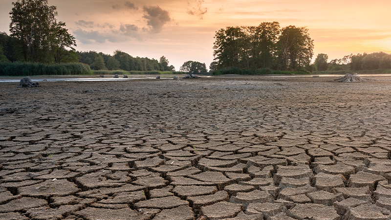
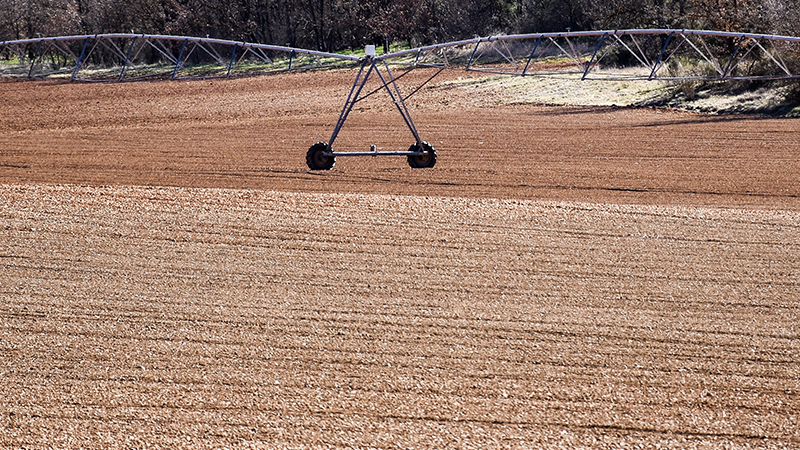
Arid Surface Leveling
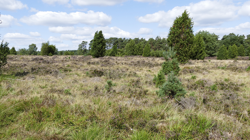
Reclaim Wasteland