Skip to content
Home
Industries
Products
Precision Agriculture
Information Construction
Unmanned Technology
News
Company News
User Case
Exhibition
About US
Business Philosophy
About US
Message from the President
History
Contact
Become Our Dealer
FInd Distributors
Technical Support
Menu
Home
Industries
Products
Precision Agriculture
Information Construction
Unmanned Technology
News
Company News
User Case
Exhibition
About US
Business Philosophy
About US
Message from the President
History
Contact
Become Our Dealer
FInd Distributors
Technical Support
日本语
English
Facebook
Twitter
Youtube
Linkedin
Home
/
Land leveling
/ N150 GPS Land leveling System
Contact Us
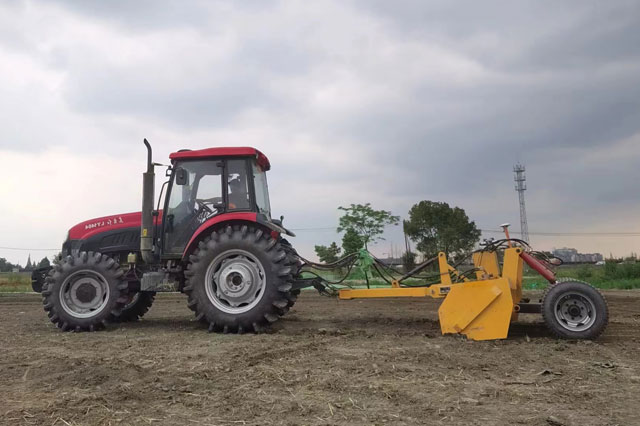
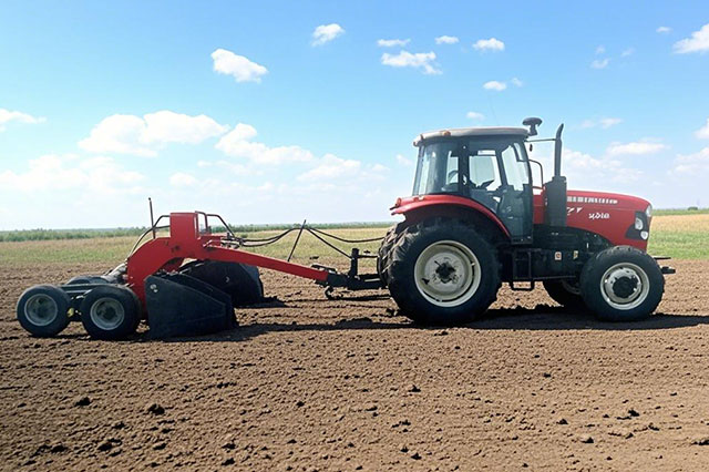
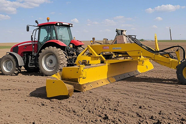
GNSS Land Leveling
N150
N150 GNSS Land Leveling System
Use land leveling to promote planting of agricultural land
Flattening the land conserves water, cuts energy consumption and grows more efficiently.
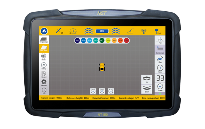
3D Visualization Map Display
Support Radio
Survey Function
Real-timeElevation Display
One-clickSet Benchmark
Single/Double slope leveling Flat leveling
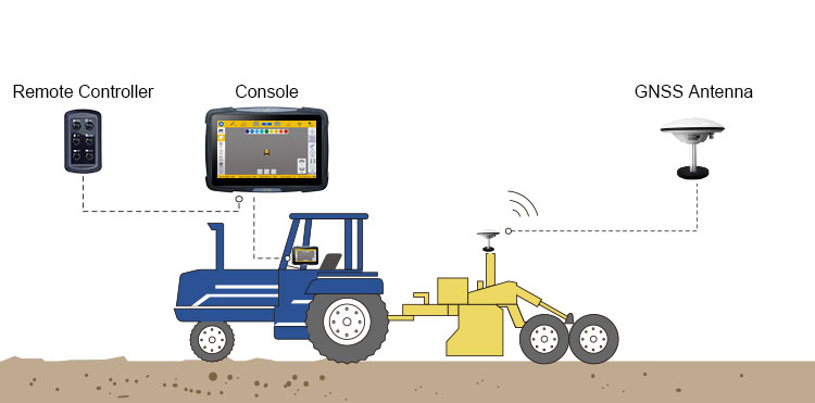
System Composition
The console is provided with a built-in high-precision GNSS board that provides centimeter-level accuracy.
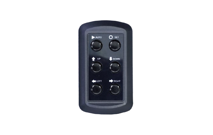
Remote Controller is a manual controller, waterproof and dustproof is IP65
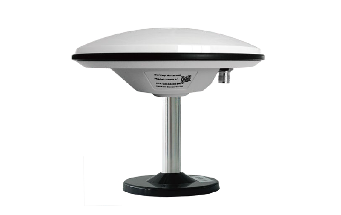
GNSS antenna can give high precision and heading.
Achievement Video
GPS Land Leveller Installation Diagram
Contact Us
Name
Telephone
Email
Message
send